

There are two access routes to Vinicunca: Cusipata, the newer and faster route via the Phulawasipata trailhead, and Pitumarca, the older route via Kayrawiri or Pampachiri. Cusipata takes roughly 3 hours to drive from Cusco (about 100 km) and reaches a trailhead around 4,600–4,700 m, with about 4 km each way to the summit. Pitumarca takes closer to 4 hours to drive (around 140 km), starts slightly further from the summit, and involves a somewhat longer, steeper walk. Cusipata is the route most tours use today, mainly for the shorter drive and better road surface.
For everything else about the day, see our complete Rainbow Mountain guide. This article is just about the trailhead choice — what actually differs, and which one your tour is probably using.
Why there are two routes at all
Vinicunca sits between the districts of Cusipata and Pitumarca, in the Quispicanchi and Canchis provinces respectively, and both communities built access routes to the mountain from their own side. Pitumarca was the original, better-established access point before Vinicunca became widely known. As tourism grew, the Cusipata route developed a shorter, better-paved road, and most tour operators shifted their itineraries to it over the past several years.
The result is two separate access points to the same mountain, run by two different communities, each charging its own entrance fee — covered in full in entrance fees and community tolls. Neither route is officially “the” route; they’re parallel options that happen to converge near the same summit ridge.
Cusipata: distance, drive time and trail profile
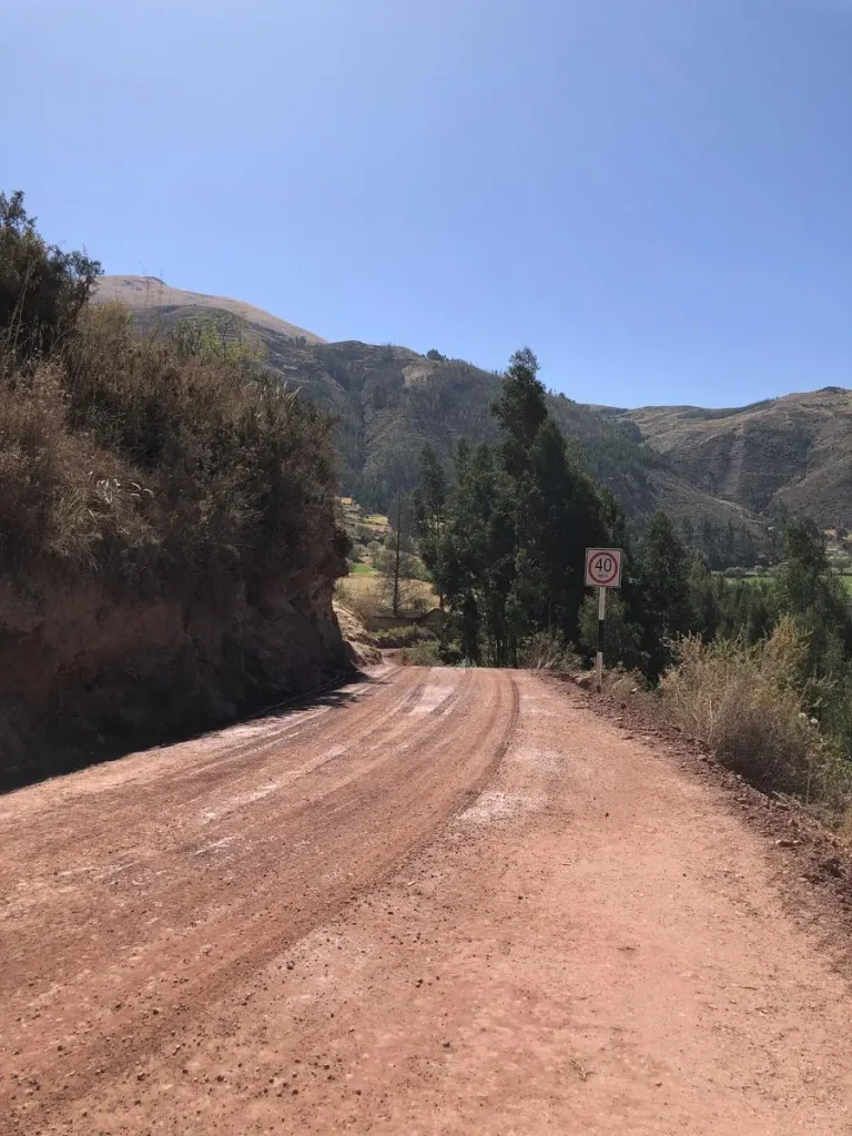
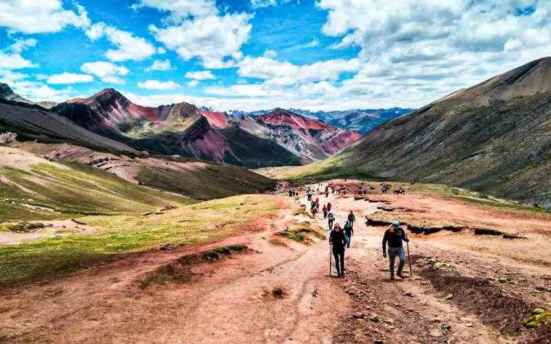
The Cusipata route runs from Cusco through the town of Cusipata to the Phulawasipata trailhead, a drive of roughly 100–102 km taking about 3 hours on a mostly paved road. From Phulawasipata, the trailhead sits around 4,600–4,700 m, and the walk to the summit viewpoint at 5,036 m covers approximately 4 km one way, close to 8 km round trip, with about 400 m of elevation gain.
This is now the most heavily used route, chosen by most operators specifically because the drive is faster and the road conditions are more reliable than the alternative. It’s also the route covered step by step in the Vinicunca trail step by step, since it’s what the large majority of visitors — and our own groups — actually walk.
Pitumarca: distance, drive time and trail profile
The Pitumarca route runs through Checacupe and Pitumarca village to a trailhead sometimes referenced as Kayrawiri or Pampachiri, a longer drive of roughly 139 km and about 4 hours from Cusco, on a road that turns to dirt for a longer stretch than the Cusipata approach. The walk from this trailhead is reported as somewhat longer and steeper than the Cusipata side — estimates in the 4–5 km one-way range depending on the source, with some reports describing a tougher gradient overall.
This was the original access route before Cusipata opened its road, and it now sees meaningfully less traffic. That’s a real trade-off: less crowding, but a longer drive and a harder walk to reach the same viewpoint.
Crowds and departure times on each
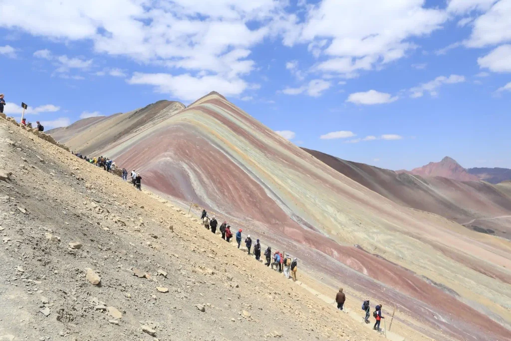
Cusipata carries most of the daily visitor volume, simply because most operators run it. On a peak-season morning, the trailhead parking area and the final approach to the summit can be busy, especially for groups that don’t leave Cusco before 4:00 AM.
Pitumarca sees a fraction of that traffic today, precisely because fewer tours use it. If avoiding crowds matters more to you than a shorter drive, this is worth asking about directly — though it comes at the cost of more time in the vehicle and a longer, steeper walk once you arrive.
Which one your tour will use and how to find out
Don’t assume — ask directly before you book. Tour listings don’t always specify which trailhead they use, and the difference matters for your total day length, drive time, and how tired you’ll be before the hardest part of the trail even starts. A straightforward question — “which route do you use, Cusipata or Pitumarca?” — should get a clear answer from any operator running the trip regularly.
If you want the full timeline of a standard day regardless of which trailhead is used, Rainbow Mountain: what to expect on the day covers pickup times, breakfast stops, and the return to Cusco.
Which we use and why
Most operators, including us on this route, favor Cusipata specifically because the shorter, paved drive means less total time on the road and a more predictable schedule, which matters when the whole day is already long and altitude is the bigger variable to manage.
If you’re comparing how we run this against a shared group departure versus arranging your own pace, group vs private departures covers that difference directly. We run our 1-day Rainbow Mountain tour from Cusco with a route and timing built around minimizing time in the van and maximizing time acclimatized before the climb.
| Route | Drive time from Cusco | Walking distance | Elevation gain | Crowds |
|---|---|---|---|---|
| Cusipata (Phulawasipata) | ~3 hours (~100–102 km) | ~4 km one way (~8 km round trip) | ~400 m | High — most tours use this route |
| Pitumarca (Kayrawiri/Pampachiri) | ~4 hours (~139 km) | ~4–5 km one way, reported steeper | Similar or slightly more, per steeper reports | Low — fewer operators run it |
Frequently Asked Questions
Which Vinicunca trailhead do most tours use?
Cusipata, via the Phulawasipata trailhead. It has a shorter, better-paved drive from Cusco, which is why most operators have shifted to it over the Pitumarca route.
Is the Pitumarca route harder than Cusipata?
Reports consistently describe the Pitumarca trail as somewhat longer and steeper, though both routes converge near the same summit viewpoint at similar altitude.
Does the trailhead change the entrance fee I pay?
Yes, potentially — each route is managed by a different community, and fees are set independently. See entrance fees and community tolls for the current breakdown.
Can I choose which trailhead my tour uses?
Usually not on a set group departure — the operator has a standard route. Ask before booking if the trailhead matters to you, since not every listing states it clearly.